
Today's adventure was quite memorable. Melissa and I decided to explore new territory just west of the Air Force Academy. She had mapped out a big loop which would take us first up Stanley Canyon the Stanley reservoir (above picture is taken at Stanley Reservoir), we would head south to the Northfield Reservoir and then down a different canyon called West Monument Trail and on to the Falcon trail in the Air Force Academy. Melissa had been up Stanley Canyon but the rest of it was new. So it was up to our map reading skills to find our way as their were multiple trails and jeep roads in the area.
The dogs made the trip with us including Willie, Fisher and Olivier. To get to the trailhead we drove in through the North Gate and headed to the west side of the AFA but then quickly left the boundaries of the Academy.
So to just give you a heads up our adventure ended up taking much longer than we thought as we had trouble finding some trails especially towards the end. Our first roadblock came while heading up Stanley Canyon when the trail was covered with a giant ice flow where normally a waterfall is. We didn't have traction or spikes for our shoes and there was no way the dogs would forge over the ice. So we had to find another way around which luckily didn't take too long.
The reservoir wasn't too far after that detour and we stopped for a break there but had to leash the dogs so they wouldn't try to walk on the frozen lake. From there we headed south on a jeep road and soon thereafter Pikes Peak came into view and we had to stop for pictures.

The dogs are wondering why they can't follow us up on the rock to get views of the Peak!

There is America's mountain.

This next series of pictures shows me trying to get the dogs to pose for the picture but they were more interested in the stick I was holding.

Staring at me was more interesting.

The camera not so much!

Finally they go for the stick and Olivier barks.

After stopping for pictures we continued on and found ourselves at another roadblock. We couldn't find the single track trail forking off the jeep road. We had to back track and lost about 30 minutes but ended up finding the trail. The above photo shows more views of the Peak as we headed down trail 713.

We then quickly found ourselves back on a jeep road and stopped to consult the map again. We decided to check out Northfield Resevoir which wasn't too far away and then head back down the canyon.

At Northfield Reservoir consulting the map again. We are both obsessed with looking at maps. At this point, we thought we were free and clear and had a straight shot down the canyon back to the car. Oh we were so wrong!

The above picture shows the point were thinks turned bad. You can see Blodgett Peak in the background. It was here that the jeep road ended and again we had to find the single track trail.

The dogs had no clue and they just hung in there with minimal complaining! =)

The map wasn't too clear as to wear the single track trail started and we were already in a narrow canyon with a creek running through it so there wasn't alot of places a trail could be, so we thought. The above picture shows us trying to find the trail but as you can see it is no where to be found.

Then we found ourselves on top of a cliff and it was not easy finding a safe way down with three dogs. Probably took us an hour but we managed to make it down the scree and back on what we thought was the trail.


Finding our way down the scree to what we thought was the trail. There were even footprints and cairns but the trail wasn't too defined. We got further down the Canyon and we eventually found another trail that was a definite trail and again thought we were on the right track. So we headed north in the direction of the car and could even see the Air Force Academy grounds not too far away. But then the trail started climbing even more and back in the direction we had just come from. We started to question whether we were going the right way and so enough we came to a look out (see below picture) and we were looking down on the exact spot where we lost the trail and where we took the photos of the three dogs before we got stuff on the cliff. After 2 hours of searching, we had found the trail we had been looking for but in a very round about way. All we could do was laugh at each other.

So we headed back the way we came and finally made it back on the Academy. As we climbed up over the ridge, we could see the tower our car was near but it was still a couple miles away. At this point we had been out for over 4 1/2 hours and just wanted to get back to the car. And then once again, there were more forks in the trail that were not on the map and we didn't know which fork to take. Luckily we knew which direction to go. So we picked what looked like the best route and stayed with it. Luck paid off this time because eventually we found the Falcon Trail and then finally the car. We had been out 5 1/2 hours but only gone about 12 miles. Exhausted we climbed in the car and headed home!

Pooped dogs, barely able to keep their eyes open.

Treat time!
Another one down in the books. This one won't be forgotten. And I can't speak for Melissa but I definitely won't be heading back to that area for a while!
 Despite the chilly temperatures (single digits), Mel and I got out for a snowshoe in the fresh snow today after our failed attempt to get up to the mountains. It had snowed a fair amount in a short period making for treacherous driving. We headed up toward St. Marys Falls with our gang of dogs. We broke trail for most of the way which was very rewarding but slow going. Didn't see anyone else out in the cold weather. We managed to stay warm although our exposed hair became frosted quickly.
 A hungry doggie!
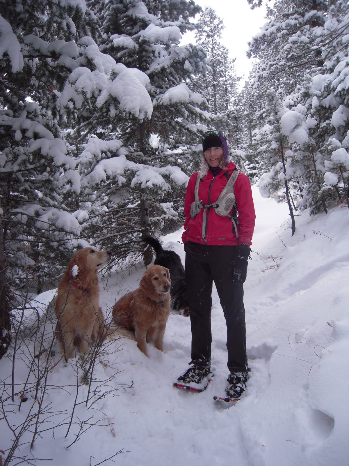
 More hungry doggies.
 Frosted hair look.


